West Hyattsville Metrorail Station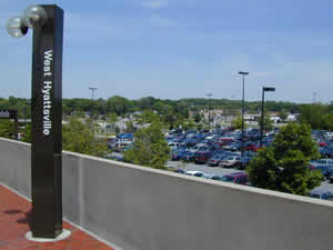
Station Area Vision The General Plan designates this station area as a Community Center. Community Centers are concentrations of activities, services and land uses that serve the immediate community. These typically include a variety of public facilities and services—integrated commercial, office and residential development—and can include mixed-use and higher intensity redevelopment. The most intensive development should occur in close proximity to the Metro station, with less intensive development radiating out to the edges. West Hyattsville Metrorail Station
The land uses planned within one-half mile of the Metro station are singlefamily and multifamily residential, office, service and retail commercial, mixed-use, public recreation, and open space. The West Hyattsville Transit District Development Plan (1998) is the applicable sector plan for this Metro station area. Sites in Public Ownership WMATA owns 27.5 acres including the station and parking area. 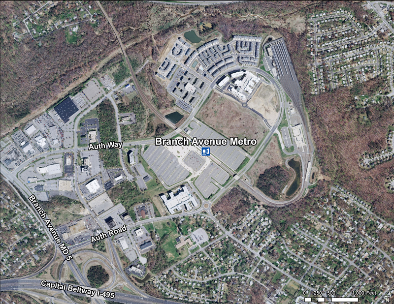 Quick Facts (WMATA Data 2010)
The West Hyattsville site is located in Hyattsville, Prince George’s County, Maryland northwest of Queens Chapel Road, between Ager Road and Chillum Road at the intersection of Agar Road and Hamilton Street
Immediate access to the site is provided by Ager Road, a four-lane north-south road. It extends from Queens Chapel Road to Route 410/East-West Highway which, in turn, connects the site to employment and retail centers in Silver Spring, Bethesda and other Montgomery County locations. Queens Chapel Road, which forms the site’s southern boundary, connects the site to the District of Columbia to the southwest. With close proximity to the University of Maryland to the northeast and Catholic University and Howard University to the southwest, the site has the potential to become an academic and bohemian Mecca. Hyattsville received a $70-million Gateway Arts District grant which stimulated the development of art studios, galleries, and subsidized housing for artists.
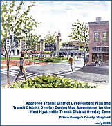
Read more about this plan |