


|
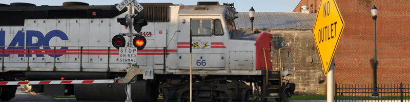
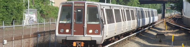
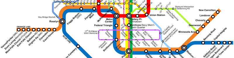
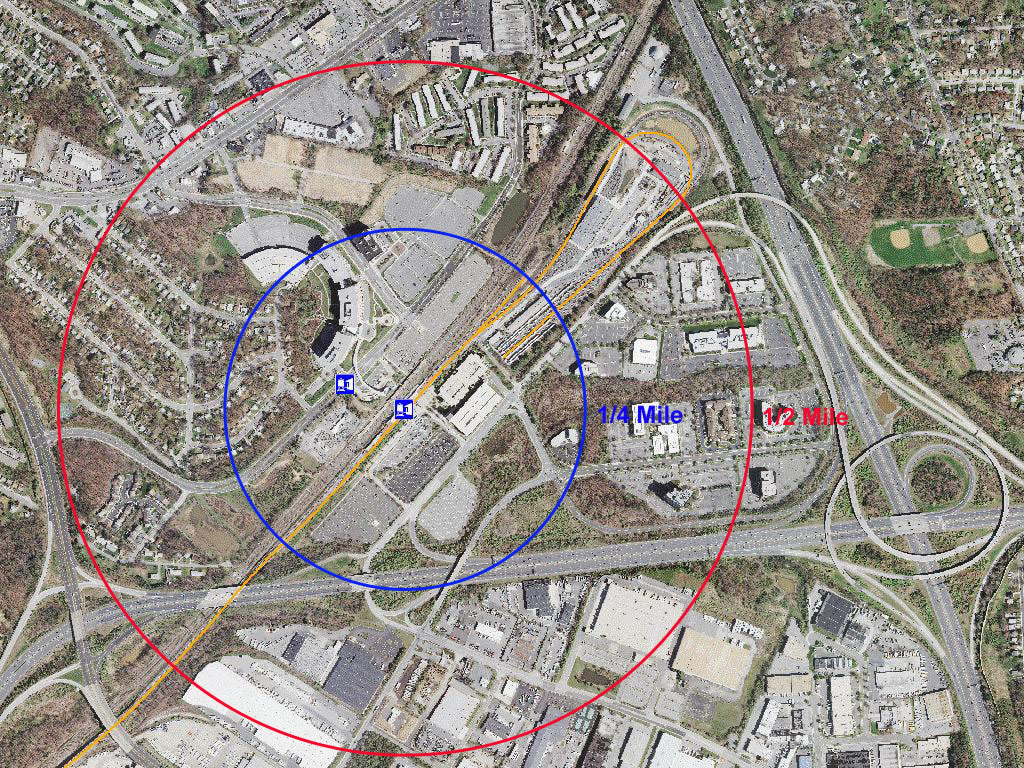
Station Area Vision At the eastern end of the Orange Line at the Capital Beltway, a major mixed-use transit center is taking shape as plans for additional office, local-serving retail, and multifamily residential uses within easy walking distance. Second only to Union Station in the Washington Metropolitan area, this station is a major multimodal hub with Metro, AMTRAK, MARC, a Greyhound Bus Terminal, and local County bus service available. Internal Revenue Service headquarters employ 5,000 workers and the 200-acre Metro East Office Park is located southeast of the station. New Carrollton is one of three stations in Prince George�s County designated a priority in June 2010. | New Carrollton Station Aerial Map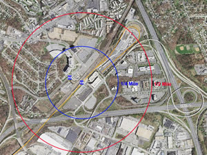
View Larger Map |
- Located along Garden City Drive ner the intersection of John Hanson Highway (US 50) and I-95.
- The nearest communities are West Lanham Hills and Whitfield Terrace.
- The General Plan places this station in the Developed tier and classfifies it as a Metropolitan Center.
- The station is also a MARC commuter rail and an AMTRAX (intercity rail) station.
- The Internal Revenue Service (IRS) complex occupies a thre-building 1.2 million-square-foot complex north of the site.
- Access is via John Hanson Highway (US 50), Annapolis Road (MD 450), and the Capital Beltway (Interstate 95/495).
The land uses planned within one-half mile of the Metrorail are commercial, office and a business park. The Landover and Vicinity Master Plan (1993) is the applicable master plan for this Metro Station area.
Sites in Public Ownership
WMATA owns 35.7 acres including the station and parking area. The state of Maryland owns approximately 9 acres (currently used for surface parking). The County owns approximately 8 acres within one-quarter mile of the station.
Quick Facts (WMATA Data 2010)
|
Transit Ridership: Transit: Parking: | 9,687 entries 9,532 exits 19 Metrobus Routes 2 THE BUS routes 3 parking facilities (including metered parking spaces, Kiss and Ride spaces, 2 spaces for WMATA�s flex car Vendor) 1,000-space, multilevel parking garage 400 spaces for WMATA 20 spaces for AMTRAK 400-space, all-day surface lot (owned by the state of Maryland) |
New Carrollton Transit District Development Plan (TDDP) and Transit District Overlay Zone (TDOZ)
New Carrollton Transit District Development Plan (TDDP) and Transit District Overlay Zone (TDOZ)
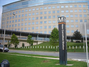
 Birds Eye View of Metro Core Looking South |
Plan View of North and South Metro Transit Plazas |
 Birds Eye View of Annapolis Road Corridor Looking Toward Metro Core |
 Birds-Eye View of Station Area From South East |
Illustrative Multimodal Transit Plan |
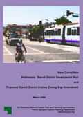
The New Carrollton Approved Transit District Development Plan and Proposed Transit District Overlay Zoning Map Amendment(March 2009)
This document is the Transit District Development Plan (TDDP) and Transit District Overlay Zone (TDOZ) for the New Carrollton Metropolitan Center and vicinity. The plan contains a comprehensive vision to guide future development within the area. The plan amends the 2002 Prince George's County Approved General Plan and the Prince George's County Zoning Map for those portions of Planning Areas 69 and 72 described as the New Carrollton TDOZ. The TDDP and TDOZ are intended to foster transit-oriented development that increases the use of public transit, maximizes return on investment in transit facilities and services, encourages appropriate development near the New Carrollton Metro Station, and increases local tax revenues. The TDDP was initiated through County Council Resolution CR742007 and developed by the Maryland-National Capital Park and Planning Commission with extensive community input primarily through community planning workshops held in December 2007 and April 2008.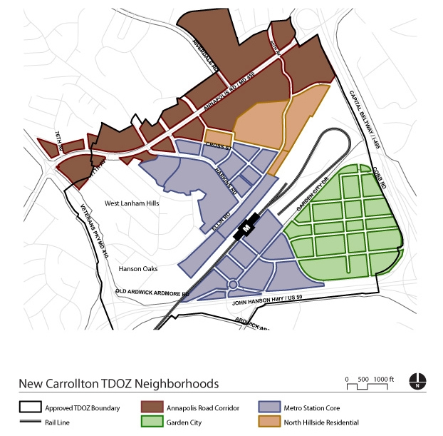
The Metro Core � Mixed-use heart of the transit district development plan (TDDP) with medium- to high-density commercial, retail, and residential uses.
Annapolis Road � Primary commercial corridor with medium-density residential and revitalized commercial uses clustered at major intersections.
Garden City � Medium-density, mixed-use residential and commercial neighborhood with easy and walkable access to the Metro station and the future Purple Line.
North Hillside Residential � Primarily existing residential neighborhood; phased infill development will bring commercial and retail uses and a new public school.
West Lanham Hills/Hanson Oaks � Preserved single-family detached and attached neighborhoods (no zoning or land use changes proposed in this neighborhood).
Click tabs to swap between content that is broken into logical sections.